Why do floods happen? (UK explainer)
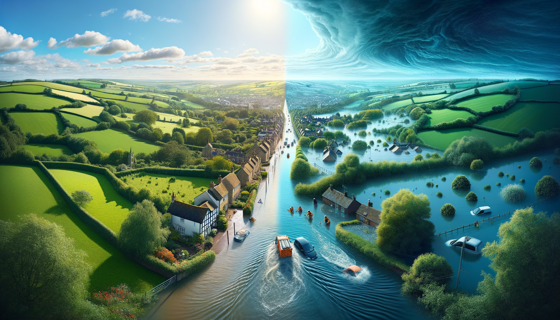
Why do floods happen?
In UK law, flooding includes any case where land that is not normally covered by water becomes covered by water.[1]
In practice, floods happen for one core reason:
More water arrives than the local environment and infrastructure can absorb, store, or move away — fast enough.
That’s why flooding can be triggered by minutes of intense rain, days of persistent rainfall, or a storm-driven sea level rise. It also explains why a site can flood even if it’s not near a river.
If you’re looking for a full breakdown of flood categories (surface water vs river vs coastal etc.), see: Types of flooding in the UK.
Flooding is a “water in vs capacity” problem
Think of flooding as a simple balance:
- Water in: rainfall, snowmelt, high tide, storm surge, upstream flows
- Capacity:
- infiltration (how much water can soak into the ground),
- storage (how much can be held in soils, channels and floodplains), and
- conveyance (how much can be carried away by drains, ditches, culverts and rivers)
Flooding occurs when:
Water in > (Infiltration + Storage + Conveyance)
Two important consequences follow:
- The same rainfall can produce different outcomes depending on how “full” the system already is (for example, saturated soils).
- Flooding can come from multiple interacting sources (rainfall + tide + high river levels), not just one.[6]
The most common reasons floods happen in the UK
1) Intense rainfall overwhelms drainage (surface water flooding)
UK government guidance describes surface water flooding as rainwater that cannot drain away through normal drainage systems or soak into the ground, so it lies on or flows over the ground.[2] It can occur many miles from rivers and is often highly localised.[2]
What drives it:
- high rainfall intensity (short, heavy downpours)
- impermeable surfaces (roofs, roads, yards)
- limited drainage capacity and local constraints (gullies, pipe sizes, outfalls)
Surface water risk is also widespread: Environment Agency guidance notes over 4.6 million properties in England are in areas at risk of surface water flooding.[2]
2) Catchments saturate and rivers exceed channel capacity (river flooding)
River flooding occurs when rivers and streams rise and overtop their banks, sending water onto adjacent low-lying land (floodplains).[7] It is often associated with:
- prolonged rainfall over a catchment
- high antecedent wetness (ground already saturated)
- constrained channels, culverts and bridge openings
The Met Office’s UK climate projections work highlights a key relationship: short, intense rainfall is linked to pluvial/surface flooding, while prolonged rainfall increases river flooding risk by saturating soil.[5]
3) High tides, waves and storm surges push seawater inland (coastal/tidal flooding)
Coastal and tidal flooding becomes more likely when the storm tide (tide + storm surge) is high enough to overtop defences or inundate low-lying land.[8]
A storm surge is a storm-caused change in sea level.[3] In UK terms, surges are strongly influenced by winds and low pressure, and timing matters: a surge at high tide is far more disruptive than the same surge at low tide.[9]
Wave action can add further height and energy via overtopping of coastal structures.[8]
4) The water table rises (groundwater flooding)
Groundwater flooding happens when underground water levels (the water table) rise up to the surface.[4] Government guidance notes that cellars and basements are particularly at risk.[4] Because groundwater levels can remain elevated after a wet period, impacts can persist longer than a typical surface water event.
5) Capacity is reduced by land use, layout, and maintenance
Flooding is often a capacity problem made worse by how places are built and maintained:
- Urbanisation increases runoff and reduces infiltration.
- Blockages and siltation reduce real-world conveyance in gullies, culverts and ditches.
- Constrained flow paths (for example, undersized culverts) concentrate water into specific low points.
One reason SuDS (Sustainable Drainage Systems) matter is that national standards describe SuDS as a “natural approach” that mimics natural drainage, manages runoff close to where it falls, and controls the flow of runoff.[10]
Why two nearby sites can behave very differently
It’s common for one site to flood while another a short distance away stays dry. Causes often include:
- small differences in ground levels (micro-topography)
- where overland flow concentrates during intense rainfall
- local drainage constraints or blockages
- proximity to a culvert/bridge that backs up
- whether the site sits on a floodplain or low-lying coastal land
This is why “Is it near a river?” is usually the wrong screening question. A better question is: Which flooding mechanism is most likely here, and where would water naturally go first?
A note on “compound” flooding
Flood risk guidance recognises that flooding can come from multiple sources and that interactions between sources matter.[6] Common UK examples include:
- heavy rainfall coinciding with high tide (slower drainage to sea)
- storm surge raising tidal river levels while catchments are already wet
Compound events are often the hardest to interpret without a portfolio view, because different sites can be affected by different mechanisms at the same time.
How FloodWatch fits (without replacing official guidance)
FloodWatch is a visibility and aggregation tool for organisations managing multiple locations. It displays official flood warnings and river level readings from the Environment Agency (England), Natural Resources Wales, and SEPA (Scotland), in one operational view.[11]
- Not a forecast: FloodWatch shows current official warnings and readings, not predictions.[11]
- Not safety advice: Always follow official guidance and emergency services for safety-critical decisions.[11]
If you manage a portfolio, you can try a postcode or upload a site list to see how official warnings and river levels map across your estate.[12]
References
- Flood and Water Management Act 2010, Section 1 (UK statutory definition of flooding): https://www.legislation.gov.uk/ukpga/2010/29/section/1
- GOV.UK — Risk of flooding from surface water: understanding and using the map (definition + England scale): https://www.gov.uk/government/publications/flood-risk-maps-for-surface-water-how-to-use-the-map/risk-of-flooding-from-surface-water-understanding-and-using-the-map
- Met Office — Storm surge (what it is, why it matters): https://weather.metoffice.gov.uk/learn-about/weather/types-of-weather/storms/storm-surge
- GOV.UK — Groundwater flooding (water table rises; basements at risk): https://www.gov.uk/guidance/groundwater-flooding
- Met Office — UKCP18 factsheet Precipitation (short intense vs prolonged rainfall and flood risk): https://www.metoffice.gov.uk/binaries/content/assets/metofficegovuk/pdf/research/ukcp/ukcp18-factsheet-precipitation.pdf
- GOV.UK — Flood risk and coastal change (sources include rivers/sea, surface water, groundwater, sewers, reservoirs; interactions between sources): https://www.gov.uk/guidance/flood-risk-and-coastal-change
- Department for Transport — Transport hazard summary: River flooding (definition + floodplains): https://assets.publishing.service.gov.uk/media/692594da33d088f6d5da2cd8/transport-hazard-summary-river-flooding.pdf
- Department for Transport — Transport hazard summary: Coastal flooding and erosion (mechanisms incl. tides, waves, surges): https://assets.publishing.service.gov.uk/media/68bab2933f3e5483efdbaa4e/dft-transport-hazard-summary-coastal-flooding-erosion.pdf
- National Tidal and Sea Level Facility (UK) — About storm surges (winds, low pressure, coastal effects): https://ntslf.org/storm-surges/about-storm-surges
- GOV.UK — National standards for sustainable drainage systems (SuDS) (mimic natural drainage; control runoff): https://www.gov.uk/government/publications/national-standards-for-sustainable-drainage-systems/national-standards-for-sustainable-drainage-systems-suds
- FloodWatch — Trust & Methodology (what FloodWatch is; sources; limitations): https://floodwatch.uk/trust
- FloodWatch — Homepage (product positioning; “Try a postcode”; “Upload a site list”): https://floodwatch.uk/
Free Assessment
How Flood-Ready Is Your Portfolio?
10 questions. 2 minutes. Get a personalised Flood Risk Readiness Score.
Join the Early Access Programme