Types of flooding in the UK

Types of flooding in the UK
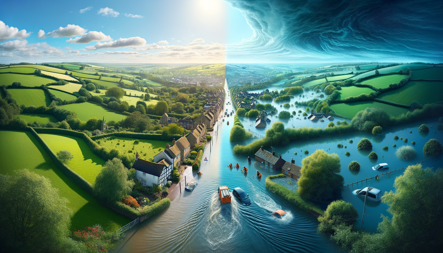
“Flood” covers any situation where land that is not normally covered by water becomes covered by water.[1] In the UK, floods are commonly grouped by source and mechanism — because that determines:
- how fast flooding can develop (minutes vs days),
- how long it tends to persist (hours vs weeks), and
- which parts of a site are hit first (roads and yards vs basements vs floodplains).
If you want the underlying “why”, start here: Why do floods happen?.
Quick comparison of UK flood types
| Flood type | What it is | Typical trigger | Onset | Typical duration |
|---|---|---|---|---|
| Surface water (pluvial) | Rainwater flowing over the ground or pooling because it can’t drain away | Short, intense rainfall; constrained drainage | Minutes–hours | Hours–days |
| Flash flooding | Rapid-onset flooding with fast-rising water (often in small catchments) | Very intense rainfall over a small area | Minutes | Hours |
| River (fluvial) | Rivers/streams overtopping banks and flooding adjacent land | Prolonged rainfall; saturated catchments | Hours–days | Days (sometimes longer) |
| Coastal / tidal | Seawater flooding low-lying coast or tidal rivers | High tide + storm surge + waves | Hours | Hours–days |
| Groundwater | Water table rising to the surface or into basements | Long wet periods (often geology-driven) | Days–weeks | Weeks (can be persistent) |
| Sewer / drainage | Water backing up through sewers/drains or local system overload | Intense rainfall; system capacity exceeded | Minutes–hours | Hours–days |
| Reservoir / canal / other artificial sources | Sudden release or overtopping from engineered/natural impoundments | Rare failures or extreme conditions | Minutes–hours | Variable |
| Compound flooding | Two or more sources interacting (e.g., rainfall + tide) | Storm sequences, wet catchments, high tides | Variable | Variable |
Notes:
- Surface water flooding is commonly described in UK government guidance as rainwater that cannot soak in or drain away, so it flows over or lies on the ground.[2]
- Government guidance also explicitly recognises multiple flood sources (including sewers and reservoirs) and their interactions.[3]
1) Surface water flooding (pluvial)
Surface water flooding happens when rainfall overwhelms local drainage and infiltration, so water flows over or pools on the ground.[2] It can occur in both urban and rural areas, and it can disrupt transport corridors and site access routes quickly.[4]
Why it surprises organisations:
- It can happen far from rivers.[2]
- It’s often driven by rainfall intensity and local layout (hardstanding, kerbs, low points), so it can be highly localised.
Common “first-hit” locations:
- access roads and underpasses
- loading yards and car parks
- ground-floor entrances and plant at low level
2) Flash flooding (rapid onset)
“Flash flooding” is often used for events where water levels rise very quickly and flows can become hazardous. In the UK context it can be:
- a fast response in small river catchments, or
- intense rainfall producing rapid overland flow and channelised routes.
Met Office UKCP18 material highlights that short, intense rainfall events can lead to pluvial (surface) flooding, while prolonged rainfall raises river flood risk via soil saturation.[5] Flash flooding sits at the fast end of that spectrum — short time-to-impact, limited warning.
3) River flooding (fluvial)
River flooding occurs when the volume of water in rivers and streams rises and spills over their banks onto adjacent land (floodplains).[6]
Typical drivers include:
- prolonged rainfall over the catchment
- saturated soils (reduced infiltration)
- constraints that back water up (culverts, bridges, channel pinch points)
Operationally, river flooding can be deeper and longer-lasting than surface water flooding, particularly where floodplains are wide or where water is slow to drain.
4) Coastal and tidal flooding
Coastal flooding is the inundation of low-lying coastal land by seawater. UK coastal flooding is often driven by combinations of:
- high tides (including spring tides),
- large waves overtopping defences, and
- storm surges increasing sea level above the predicted tide.[7]
The Met Office defines a storm surge as a storm-caused change in sea level.[8] UK sea level facilities describe how surges are influenced by winds and low atmospheric pressure, and why coastal geometry and timing can amplify impacts.[9]
Tidal rivers add a further mechanism: high sea levels can slow river discharge, increasing flood potential upstream during wet conditions (a “backwater” effect).
5) Groundwater flooding
Groundwater flooding occurs when water under the ground (the water table) rises to the surface.[10] Government guidance highlights that underground rooms such as cellars and basements are especially vulnerable.[10]
What makes groundwater different:
- It tends to build more slowly.
- It can persist for longer because groundwater levels fall slowly after a wet period.
This type often correlates with local geology (for example, chalk landscapes).
6) Sewer and drainage flooding
Flood risk guidance includes overwhelmed sewers and drainage systems as a flood source.[3] In practice, intense rainfall can exceed sewer capacity, leading to:
- surcharging at gullies and manholes,
- backflow into lower levels (where backflow protection is absent), and
- combined effects with surface water flow routes.
For portfolio teams, the key point is that sewer/drainage issues can look like surface water flooding on the surface — but the mechanism and responsibility boundaries can differ.
7) Reservoirs, canals and other artificial sources (rare)
Flood risk guidance recognises reservoirs, canals and lakes and other artificial sources as potential contributors to flood risk.[3] These events are far less common than rainfall-driven floods, but they can be high consequence due to rapid release volumes.
This category is usually most relevant for:
- critical infrastructure operators,
- regulated assets and assurance regimes,
- downstream high-consequence zones.
8) Compound flooding (interacting sources)
Flooding sources can interact, and government guidance explicitly notes that flood risk accounts for these interactions.[3] Examples include:
- heavy rainfall coinciding with high tide (slower drainage to sea/outfalls)
- storm surge elevating tidal rivers while catchments are already saturated
- sequences of storms that keep soils wet, increasing sensitivity to further rainfall
Compound events are a common reason why multi-site monitoring is harder than single-site monitoring: different sites can be affected by different mechanisms at the same time.
Where FloodWatch fits
FloodWatch is a portfolio visibility layer for organisations. It aggregates official flood warnings and river level readings from:
- Environment Agency (England)
- Natural Resources Wales
- SEPA (Scotland)[11]
FloodWatch is not a flood forecast and does not replace official safety guidance; it displays current official warnings and readings for situational awareness.[11]
If you manage multiple locations, you can try a postcode or upload a site list to see live flood status across your estate in one view.[12]
References
- Flood and Water Management Act 2010, Section 1 (UK statutory definition of flooding): https://www.legislation.gov.uk/ukpga/2010/29/section/1
- GOV.UK — Risk of flooding from surface water: understanding and using the map (definition and UK framing): https://www.gov.uk/government/publications/flood-risk-maps-for-surface-water-how-to-use-the-map/risk-of-flooding-from-surface-water-understanding-and-using-the-map
- GOV.UK — Flood risk and coastal change (sources include rivers/sea, surface water, groundwater, sewers, reservoirs; interactions): https://www.gov.uk/guidance/flood-risk-and-coastal-change
- Department for Transport — Transport hazard summary: Surface water flooding (definition + disruption characteristics): https://assets.publishing.service.gov.uk/media/69369de26a167b6884b73601/transport-hazard-summary-surface-water.pdf
- Met Office — UKCP18 factsheet Precipitation (short intense vs prolonged rainfall and flood types): https://www.metoffice.gov.uk/binaries/content/assets/metofficegovuk/pdf/research/ukcp/ukcp18-factsheet-precipitation.pdf
- Department for Transport — Transport hazard summary: River flooding (definition + floodplains): https://assets.publishing.service.gov.uk/media/692594da33d088f6d5da2cd8/transport-hazard-summary-river-flooding.pdf
- Department for Transport — Transport hazard summary: Coastal flooding and erosion (mechanisms incl. tides, waves, surges): https://assets.publishing.service.gov.uk/media/68bab2933f3e5483efdbaa4e/dft-transport-hazard-summary-coastal-flooding-erosion.pdf
- Met Office — Storm surge (storm-driven sea level change): https://weather.metoffice.gov.uk/learn-about/weather/types-of-weather/storms/storm-surge
- National Tidal and Sea Level Facility (UK) — About storm surges (winds, low pressure, coastal effects): https://ntslf.org/storm-surges/about-storm-surges
- GOV.UK — Groundwater flooding (water table rises; basements at risk): https://www.gov.uk/guidance/groundwater-flooding
- FloodWatch — Trust & Methodology (what FloodWatch is; sources; limitations): https://floodwatch.uk/trust
- FloodWatch — Homepage (product positioning; “Try a postcode”; “Upload a site list”): https://floodwatch.uk/
Free Assessment
How Flood-Ready Is Your Portfolio?
10 questions. 2 minutes. Get a personalised Flood Risk Readiness Score.
Join the Early Access Programme