River level data for operations: stations, measures, readings (and what they can’t tell you)

River level data for operations: stations, measures, readings (and what they can’t tell you)
River level and flow data can be genuinely useful for operations teams: it helps you spot trends, understand whether conditions are rising or falling, and add context to official flood alerts and warnings. But to use it confidently (especially across multiple sites), you need to understand the Environment Agency data model and—just as importantly—its limits.
This guide explains the three core building blocks you’ll see in a river level readings API: stations, measures, and readings.
The simple model: station → measure → reading
Think of the data like this:
- A station is a real-world monitoring location (a gauge).
- A station can have one or more measures (what is being measured at that station).
- A reading is a timestamped value for a particular measure.
If you’re ever unsure what a number means, work backwards:
reading → measure (units/datum/qualifier) → station (location/status).
1) Stations: where the data comes from
A station is the monitoring point. Some stations measure more than one thing (for example, both level and flow). Some stations measure levels at two points (e.g. upstream and downstream of a structure), which matters a lot for interpretation.
Operationally, stations are most useful when you treat them as reference points, not perfect proxies for what’s happening at your asset.
What to look for in station metadata
- Location fields: latitude/longitude (and often easting/northing) for mapping.
- River/town labels: helpful for selecting the most relevant gauges.
- Status: not every station is always active; stations may be closed or suspended.
- Type: some stations are single-level, multi-trace, coastal/tidal, groundwater, or meteorological.
2) Measures: what is being measured (and how)
A measure is a specific measurement stream available from a station (for example: water level “stage”, downstream stage, flow rate, groundwater level, tidal level).
Measures are where most misunderstandings happen, because they define the “meaning” of the number.
Key fields that change interpretation
- parameter / parameterName: e.g. level (Water Level) vs flow (Flow).
- qualifier: e.g. Stage vs Downstream Stage, Groundwater, Tidal Level.
- unitName: e.g. metres relative to a datum or m³/s for flow.
- datumType (for levels): tells you what “zero” the measurement is relative to.
- period: the nominal interval between readings for that measure.
A note on level datums (why 1.23m might be meaningless without context)
Two gauges can both report “water level” but be using different reference points. The measure metadata is what tells you whether the value is relative to (for example) a local stage datum or Ordnance Datum.
For operations, the practical takeaway is:
- Use trend (rising/falling) and relative change confidently.
- Be cautious comparing absolute values across different measures unless you’ve checked the datum and units.
3) Readings: the timestamped values you monitor
A reading is the actual data point: a timestamp plus a value for a specific measure.
What readings typically include
- dateTime: when the reading applies
- value: the numeric value (sometimes a value can be missing/invalid)
- measure: a reference that links back to the measure definition (units, qualifiers, datum, etc.)
“Recent” data is not the same as “historic” data
Readings are available for a recent window (typically the last few weeks). If you need longer-term analysis (seasonality, baselines, return periods), you’ll usually need separate historic datasets and a different approach to QA/validation.
Update patterns: what “every 15 minutes” actually means
It’s common to see “updated every 15 minutes” associated with river level data. In practice, there are a few nuances that matter operationally:
- Measurements are typically taken on a regular cadence (often around 15 minutes).
- The feed is updated on a 15-minute cycle, but individual measures may update less frequently.
- Data transfer from sites back to the central service may occur at different frequencies and can increase during heightened flood risk.
- Sometimes readings arrive in batches, which affects how you build “complete” timelines.
Operational implication: treat the “latest” value as the latest known value, not a guarantee of real-time conditions at the asset.
What river level data can’t tell you (common limitations)
River level and flow data is powerful, but it has hard boundaries:
It doesn’t tell you whether your specific site will flood.
A gauge is a point measurement, often some distance away, and flooding depends on local topography, drainage, defences, and blockages.It isn’t a flood warning service.
River levels are one input to wider situational awareness; they don’t replace official flood alerts/warnings.Not all stations measure the same thing.
“Level” and “flow” are different signals. Two “level” measures can also differ (stage vs downstream stage, different datum, different units).Data gaps and station status happen.
Stations can be suspended/closed; readings can be missing or invalid.Update timing can vary.
Some measures update less frequently than the headline feed cadence, and transfer frequency can vary by site and conditions.
How to use river level data operationally (without over-trusting it)
For most organisations, the best use of river level readings is to support triage and prioritisation:
- Pair official flood alerts/warnings with nearby gauge trends to understand whether conditions are intensifying or easing.
- Identify a small set of key stations per critical site (rather than trying to watch everything).
- Use measures consistently (e.g. prefer “stage” measures if you are monitoring river stage behaviour, and don’t mix datums).
- Build a simple internal rule: “rising fast” triggers a check-in; “peaked and falling” reduces urgency—always alongside official updates.
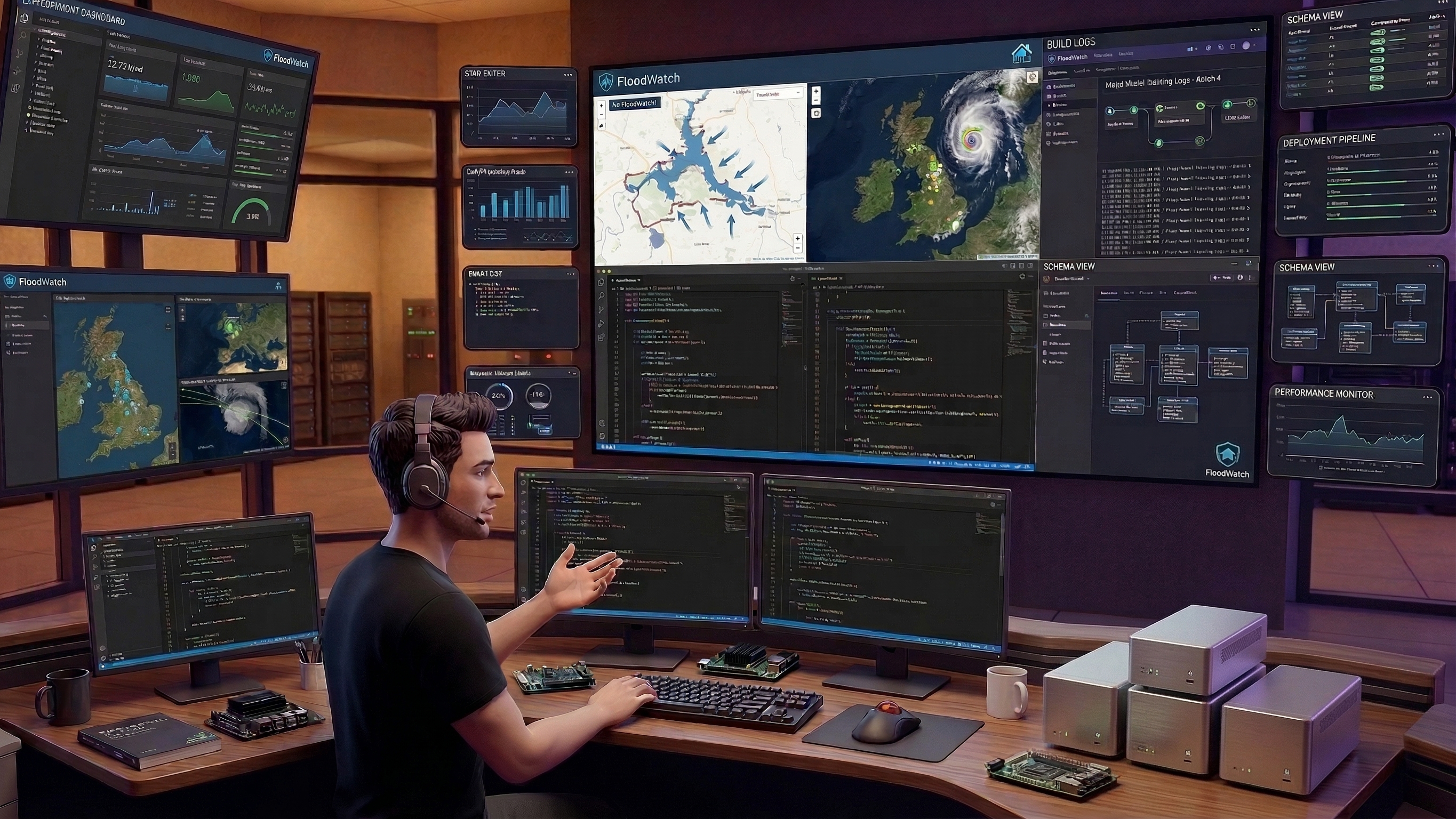
How FloodWatch helps
FloodWatch brings river level context into a portfolio view: link relevant stations and measures to operational locations, so teams can see what’s changing across an estate without manually chasing individual gauges.
Call to action
Try the demo on floodwatch.uk to see how official flood signals and river level context can be viewed across multiple sites.
Free Assessment
How Flood-Ready Is Your Portfolio?
10 questions. 2 minutes. Get a personalised Flood Risk Readiness Score.
Join the Early Access Programme