Farming on the Floodplain: What England’s flood data reveals about agricultural risk (and what to do about it)
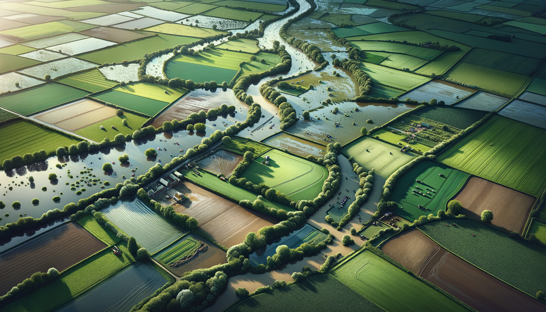
Key point: Flood risk on farmland is not only about big rivers overtopping. It’s about where water accumulates (valley bottoms, lowland peat), how quickly it runs off (soil structure, compaction, land cover), and how often the system is already saturated.
This article is written for landowners, estate managers, agri-operators and rural infrastructure teams. It starts with what national datasets say about exposure, then moves to practical actions that reduce losses and speed recovery.
What the national data says: prime farmland overlaps flood hazard
A DEFRA/CPRE analysis combining the Environment Agency’s Flood Map for Planning (Flood Zone 3) with the Provisional Agricultural Land Classification (ALC) shows a striking overlap:
- ~212,319 hectares of Grade 1 land are in Flood Zone 3 (highest probability zone) — 59.8% of England’s Grade 1 land.
- The concentration is strongest in the east: East Midlands and East of England contain the largest areas of high-grade farmland in Flood Zone 3.
Figure 1 shows hectares of ALC Grades 1–3 that fall inside Flood Zone 3 by region (Table 6 in the CPRE report).
![Figure 1: ALC Grade 1–3 land in Flood Zone 3 by region]
Where the risk concentrates
Lowland arable regions dominate the exposure profile:
- East Midlands: 306,991 ha of Grades 1–3 land in Flood Zone 3
- East of England: 276,550 ha of Grades 1–3 land in Flood Zone 3
- Yorkshire & the Humber: 172,587 ha of Grades 1–3 land in Flood Zone 3
The mix varies by region. Figure 2 breaks out top regions by grade.
![Figure 2: Flood Zone 3 land by grade (top regions)]
Across England, Flood Zone 3 agricultural land is weighted towards Grade 3 by area, but the exposure of Grade 1 is strategically important (food value, rotations, specialist crops). Figure 3 shows the grade composition of Grade 1–3 land in Flood Zone 3.
![Figure 3: Grade composition of Flood Zone 3 agricultural land]
Flood Zone 3 and surface water: what’s included (and what isn’t)
Flood Zone 3 represents land with:
- ≥ 1% annual probability of flooding from rivers, or
- ≥ 0.5% annual probability of flooding from the sea,
and it ignores the benefits of flood defences (planning baseline).
This is vital context: many farms rely on embankments, pumps, and managed drains — but Flood Zone mapping is deliberately conservative for strategic planning.
Separately, the Environment Agency’s Risk of Flooding from Surface Water (RoFSW) assesses where intense rainfall may pool or run off when it cannot soak in or drain away. RoFSW includes depth/hazard layers and is enhanced by local modelling where available.
Why farms flood: a pathways view
A useful way to think about agricultural flood losses is:
Source → Pathway → Receptor → Consequence
- Source: rainfall, river levels, tide/surge, groundwater rise
- Pathway: ditches, field drains, culverts, gateways, tracks, low points, outfalls
- Receptor: crops, pasture, farmyards, stores, power, access routes, soil itself
- Consequence: yield loss, delayed field operations, contamination, erosion, damaged infrastructure
The most cost-effective work is often pathway control: keep water moving where it should, and slow/spread/store it where it can safely pause.
Figure 4 is an original schematic you can use to brief teams and contractors.
![Figure 4: Runoff pathways schematic]
Seasonal operating rhythm: what to do when
| Season | Typical flood drivers | What to watch | High-value interventions |
|---|---|---|---|
| Autumn (Sep–Nov) | First saturation events; leaf fall blocking drains; bare soils after harvest | Ditch levels; blocked culverts; erosion from worked ground | Drain/culvert clearance; trash screen checks; establish cover crops; stabilise gateways |
| Winter (Dec–Feb) | Persistent rainfall; saturated soils; high rivers; storm surge (coastal/estuarine) | Antecedent rainfall; river trends; pump runtime; access viability | Pre-position pumps/barriers; test backup power; protect stores; safe shut-down plans |
| Spring (Mar–May) | Groundwater response; lingering saturation; delayed field windows | Seepage; soft ground; compaction risk from early operations | Repair damage; avoid early trafficking; targeted aeration/subsoiling only when suitable |
| Summer (Jun–Aug) | Intense downpours; flash runoff; erosion; harvest disruption | Radar nowcasts; runoff hotspots; yard drainage | Maintain track cross-drains; check yard gullies; keep temporary pumps ready |
“No-regrets” resilience actions for landowners and estates
1) Treat compaction as a flood-risk multiplier
Compaction reduces infiltration and accelerates runoff. Prioritise:
- controlled traffic where practical
- avoiding heavy kit on marginal days
- restoring structure (carefully) when conditions allow
2) Make drainage boring again (it’s the point)
A predictable maintenance loop beats emergency response:
- pre-winter ditching, trash screens, culvert inspection
- CCTV survey of legacy culverts on critical access routes
- map “known bad actors” (gateways, low points, pinch points)
3) Slow, spread, store — safely
In-field and edge-of-field measures can reduce peaks and erosion:
- buffer strips / grassed waterways
- small bunds, scrapes, leaky features where appropriate
- sacrificial storage areas that protect higher-value receptors
4) Protect the farmyard like critical infrastructure
Many farm losses occur outside the field:
- raise electrical and fuel systems
- keep flood logs (depths, durations, contamination)
- ensure access routes have contingency plans
Method note
The charts in this post use published CPRE/DEFRA analysis (Table 6) rather than a fresh GIS overlay. They are strong for national/regional context, but do not replace site-level modelling and on-the-ground surveys.
Sources
- CPRE (2022), Building on our food security — Table 6 regional breakdown of ALC grades in Flood Zone 3.
- Environment Agency Flood Zones product description (Flood Zone definitions).
- Environment Agency RoFSW dataset (surface water assessment).
- Natural England/DEFRA Provisional ALC dataset description (grades 1–5).
Free Assessment
How Flood-Ready Is Your Portfolio?
10 questions. 2 minutes. Get a personalised Flood Risk Readiness Score.
Join the Early Access Programme